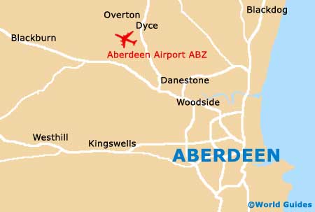
Aberdeen Airport (ABZ)
Orientation and Maps
(Aberdeen, Scotland)
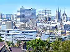
One of the biggest cities in the whole of Scotland, after both Edinburgh and Glasgow, the city of Aberdeen is home to a busy international seaport. Aberdeen has a population of more than 210,000 people and stands around the River Dee and next to the North Sea.
Aberdeen has become an important city of commerce and each year many visitors fly into Aberdeen International Airport (ABZ), which is often referred to locally as Dyce Airport. Located in the city's north-western suburbs, the airport is well connected, being linked by buses, trains and taxis.
Aberdeen Airport (ABZ) Maps: Important City Districts
Full of history, the city originally evolved as two main districts, Old Aberdeen and New Aberdeen. Today, these areas are less clearly defined and each contains its own unique set of attractions. Other notable districts include the Royal Burgh of Torry and Woodside, both of which lie on the southern side of the River Dee.
Much of central Aberdeen is based around Union Street, an impressive artery lined with many shops and eye-catching buildings, such as Trinity Hall and the grand Music Hall. Union Street stretches for around 1.5 km / 1 mile and is a wide street which runs into Castle Street, to the east.
Aberdeen's Castle Street in another prominent thoroughfare and home to the city council's Town House, the Town and County Hall and also the imposing North of Scotland Bank, famous for its Greek-style architecture. Other important roads around Aberdeen city centre include Market Street, Union Street, and East North Street.
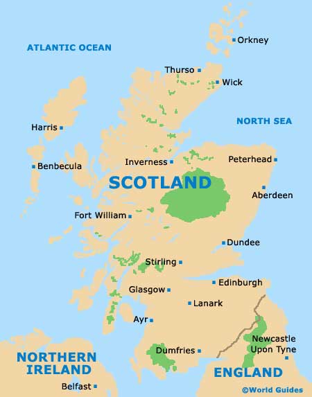
United Kingdom Map

Scotland Map
Aberdeen Map